PHOTOVOLTAIC GEOGRAPHICAL INFORMATION SYSTEM
Please Confirm some Profile Information before proceeding
Are you sure you want to disconnect?
Terms and Conditions
A validation email has just been sent to you at :
Please click on the link to confirm your registration.
Evaluate the Solar Potential of Your Site with Free Sunlight Maps
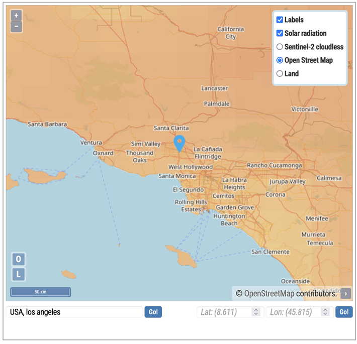
The success of a solar project largely depends on a precise analysis of sunlight exposure. With PVGIS, you have access to free sunlight maps that provide a clear and detailed view of the solar potential of any location worldwide.
These maps, developed using reliable and up-to-date data, allow you to visualize average solar irradiation as well as local temperature variations. This information is essential for understanding a site's climatic conditions and assessing the feasibility and profitability of a photovoltaic installation.
The PVGIS sunlight maps stand out for their clarity and level of detail.
They offer intuitive visualizations that highlight areas with optimal sunlight exposure. By integrating these maps into your study, you can quickly identify the most favorable locations for a solar installation, whether for a residential, commercial, or industrial project.
One of the key advantages of these maps is their ability to include specific climatic data, such as seasonal fluctuations or average temperatures. These parameters directly influence the performance of solar panels, enabling a realistic evaluation of potential energy production.
PVGIS democratizes access to solar potential information
By making these maps freely accessible, PVGIS democratizes solar potential information, giving users the opportunity to explore different regions and compare their characteristics. Whether you are a homeowner looking to equip your house or a professional planning a large-scale project, these maps serve as a valuable tool to guide your decisions.
With PVGIS's free sunlight maps, you gain a reliable and easy-to-use resource for optimizing the placement of your solar installations. Take the lead in your energy projects today and fully leverage the solar potential of your region with this powerful and accessible tool.
20 BONNES RAISONS
D’UTILISER LE CALCULATEUR
SOLAIRE PVGIS24
- 1 How to Calculate Solar Panel ROI with PVGIS?
- 2 Analyze your photovoltaic system performance with precision
- 3 Accurately assess your solar panel system performance
- 4 Optimize your solar energy production with a high-precision calculator
- 5 Estimate Your Solar Production Online with Precision and Simplicity
- 6 Calculate Your Solar Panel Output with Precision
- 7 Maximize your solar panel performance with PVGIS
- 8 How Many Solar Panels Do You Need for Your Home?
- 9 Evaluate the Solar Potential of Your Site with Free Sunlight Maps
- 10 Maximize your solar project profitability with comprehensive financial analysis
- 11 Estimate Your Home’s Solar Production with PVGIS
- 12 Simulate solar production for your exact location with address precision using PVGIS
- 13 Maximize your solar power output with panel tilt analysis
- 14 Streamline your solar projects with PVGIS management software
- 15 Find the best angle for your solar panels with PVGIS
- 16 Assess your location's solar potential with detailed geographic data
- 17 Optimize your projects with PVGIS tool for solar installers
- 18 Assess Your Solar Panel ROI with Precision Using PVGIS Calculator
- 19 Explore every aspect of your project with PVGIS advanced solar panel calculator